FROM: NWS Paducah KY
AREA: Gibson, IN; Pike, IN; Spencer, IN; Vanderburgh, IN; Warrick, IN; Daviess, KY; Henderson, KY
SENT: 2026-03-15T21:08:00-05:00
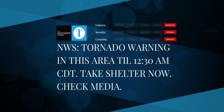
Severe Thunderstorm Warning issued March 15 at 9:08PM CDT until March 15 at 10:00PM CDT by NWS Paducah KY
SVRPAH
The National Weather Service in Paducah has issued a
* Severe Thunderstorm Warning for…
Warrick County in southwestern Indiana…
Southeastern Gibson County in southwestern Indiana…
East central Vanderburgh County in southwestern Indiana…
Spencer County in southwestern Indiana…
Pike County in southwestern Indiana…
Northern Daviess County in northwestern Kentucky…
Henderson County in northwestern Kentucky…
* Until 1000 PM CDT/1100 PM EDT/.
* At 908 PM CDT/1008 PM EDT/, severe thunderstorms were located along
a line extending from 6 miles south of Washington to 6 miles
southwest of Lynnville to near Robards, moving northeast at 70 mph.
HAZARD…70 mph wind gusts.
SOURCE…Radar indicated.
IMPACT…Expect considerable tree damage. Damage is likely to
mobile homes, roofs, and outbuildings.
* Locations impacted include…
Evansville, Owensboro, Henderson, Boonville, Newburgh, Chandler,
Oakland City, Petersburg, Rockport, Dale, Lynnville, Winslow,
Grandview, Robards, Santa Claus, Stanley, Folsomville, Eureka,
Chrisney, and Somerville.
This includes the following highways…
Interstate 69 in Kentucky between Mile Markers 138 and 148.
Interstate 69 in Indiana between Mile Markers 1 and 13, and between
Mile Markers 42 and 52.
Interstate 64 in Indiana between Mile Markers 33 and 60.
Audubon Parkway between Mile Markers 1 and 23.
Remain alert for a possible tornado! Tornadoes can develop quickly
from severe thunderstorms. If you spot a tornado go at once into the
basement or small central room in a sturdy structure.
For your protection move to an interior room on the lowest floor of a
building.
A Tornado Watch remains in effect until 1100 PM CDT/midnight EDT/ for
southwestern Indiana…and northwestern Kentucky.
Alert Expiration: 2026-03-15T22:00:00-05:00