DEVELOPING STORY — According to Andy Ball, Daviess County Emergency Management Director and Kelly Hooper, an incident meteorologist at the National Weather Service out of Paducah, Ky., Saturday’s weather classification was a high end EF1 tornado.
The highest winds were 110 mph and the width was estimated at 200 yards. Assessments are still being calculated.
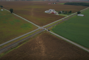
The origin of the tornado was Stanley-Birk City Road and ran to Wimsatt Road, ending in a cornfield.
No injuries were reported.