Dense fog is impacting much of the region early Monday morning, while forecasters warn that severe thunderstorms capable of producing tornadoes and damaging winds are possible later this week, according to the National Weather Service.
A Dense Fog Advisory remains in effect through the morning hours, with visibility in some locations dropping to one-quarter mile or less. The advisory covers portions of western Kentucky, southern Illinois, southwest Indiana, and southeast Missouri, based on the latest NWS briefing.
“Widespread dense fog is occurring across much of the region this early morning, and we expect that to continue through the mid to potentially late morning hours,” said Derrick Snyder, senior forecaster with the National Weather Service in Paducah.
The National Weather Service said conditions are expected to improve once the fog lifts, giving way to very mild and dry weather through Wednesday.
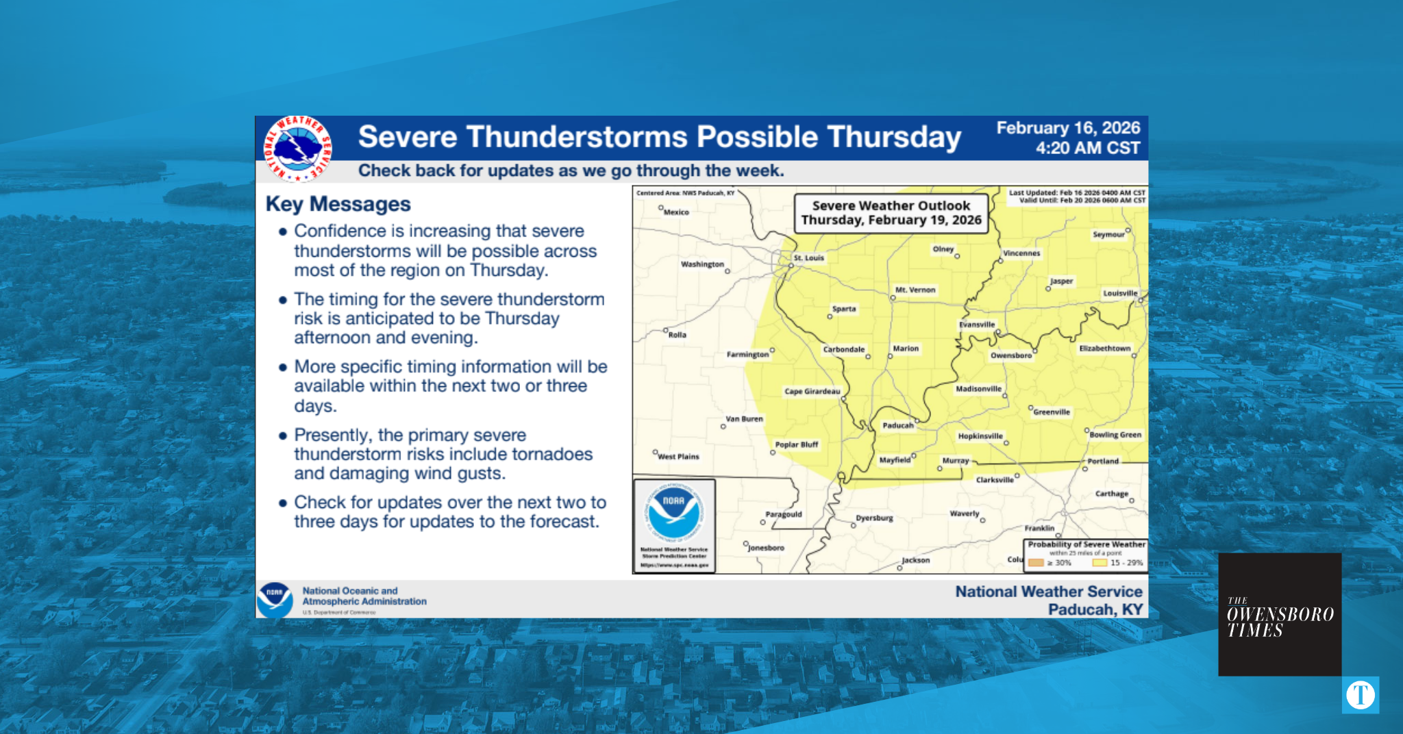
Attention then shifts to Thursday, when confidence is increasing that severe thunderstorms will be possible across most of the region.
“However, a potential disturbance will bring a chance of thunderstorms Thursday afternoon and evening, and our concern for severe thunderstorms is growing,” Snyder said in an email.
According to the NWS briefing, the primary threats at this time include tornadoes and damaging wind gusts. The Storm Prediction Center has placed much of the area under a Slight Risk for severe weather.
More precise timing details are expected to become available over the next several days.
“There is still time for the forecast to change, but please check for updates throughout the week,” Snyder said.