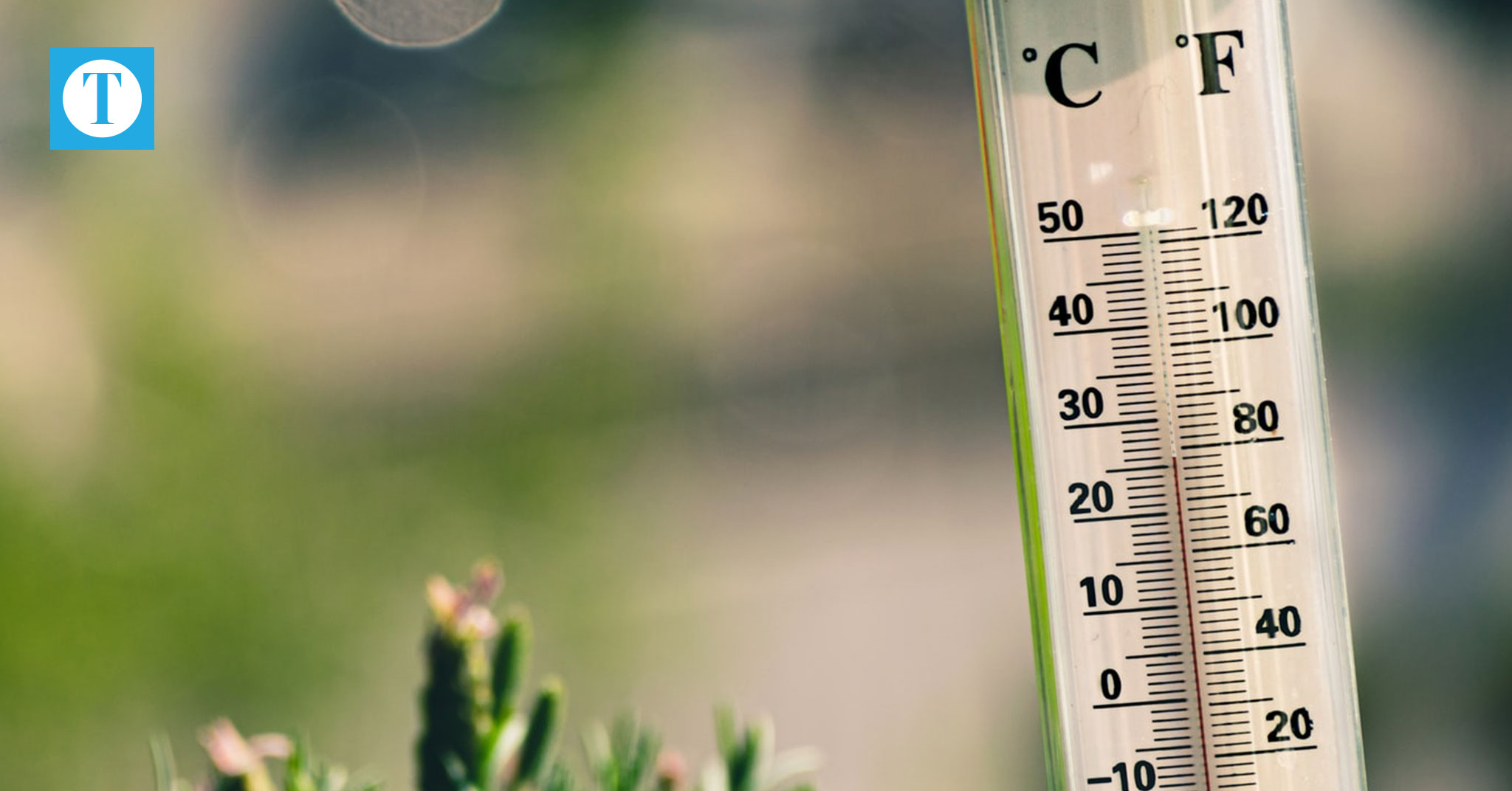
The summer of 2020 is likely to be a scorcher throughout much of the U.S. — which might not seem unusual considering the past five summers have been the globe’s hottest on record.
In Kentucky, in addition to heat waves, expect heavy rain. The National Oceanic and Atmospheric Administration’s three-month outlook shows a higher probability for wetter conditions in June, July and August statewide.
The region began warm and wet this year before turning cooler and drier. In April and May, the cooler-than-normal monthly average temperatures were the coldest in at least a decade.
These mild temperatures prevented further dryness during a period of reduced rainfall according to Stuart Foster, state climatologist and Western Kentucky University professor, who explained that cooler temperatures reduced the rate of evapotranspiration and allowed for greenery to flourish.
Conditions began to dry out this past week, but that is likely to change.
“We’re going to be going from dry back to wet next week,” said Kevin Smith, meteorologist at the National Weather Service in Paducah, who recommended monitoring for potential thunderstorms as well as personal hydration.
The pattern of transitioning between wet and dry conditions is usually routine. But greater seasonal and annual rainfall has been a statewide trend in recent years.
Last year, Kentucky experienced its fifth wettest year on record, along with a fast-developing “flash drought” during the driest and second-hottest September on record.
Owensboro recorded 19 days above 90 degrees and just 0.06 inches of precipitation in September, according to NWS.
“We just had an extreme swing from very wet conditions to extraordinarily dry conditions,” Foster said. “When the soils get dry in the summertime, our temperatures go up.”
Annual rainfall was high across the state, particularly in southern counties. Ohio County received the highest rainfall in the Green River region with 64 inches, according to data from the Kentucky Mesonet.
“We’re in the midst of a remarkably wet period for Kentucky that’s lasted now for a decade,” Foster said. “Within that, we’ve had some periods of drought. But when you average precipitation on a yearly basis, it’s been extremely wet. It really reflects a change in our climate today.”
Increasingly, precipitation throughout a month occurs on just a few days and in amounts greater than an inch in 24 hours. Owensboro received 2.9 inches of rain of this month’s cumulative 3.35 inches on June 4, according to NWS.
“Our climate is not only becoming wetter but the amount of precipitation that is falling during heavy rainfall events is increasing,” Foster said. “We’re not seeing more days with rain, but we’re seeing more rain on the days with rain.”
Due to heavier rain events, citizens should be wary of flash flooding and damaging winds during severe thunderstorms. NWS recommends avoiding the outdoors or traveling during storms.
In March, there were four severe storms regionally with accompanying tornadoes, including the billion-dollar disaster with 175 mph winds that tore through Nashville, killed 25 people and displaced hundreds, according to the National Centers for Environmental Information.
This summer, citizens should continue to be aware of conditions that could breed tornadoes, which can still strike outside the region’s peak spring season.